

Key Takeaways
Why These Four Parks Belong Together
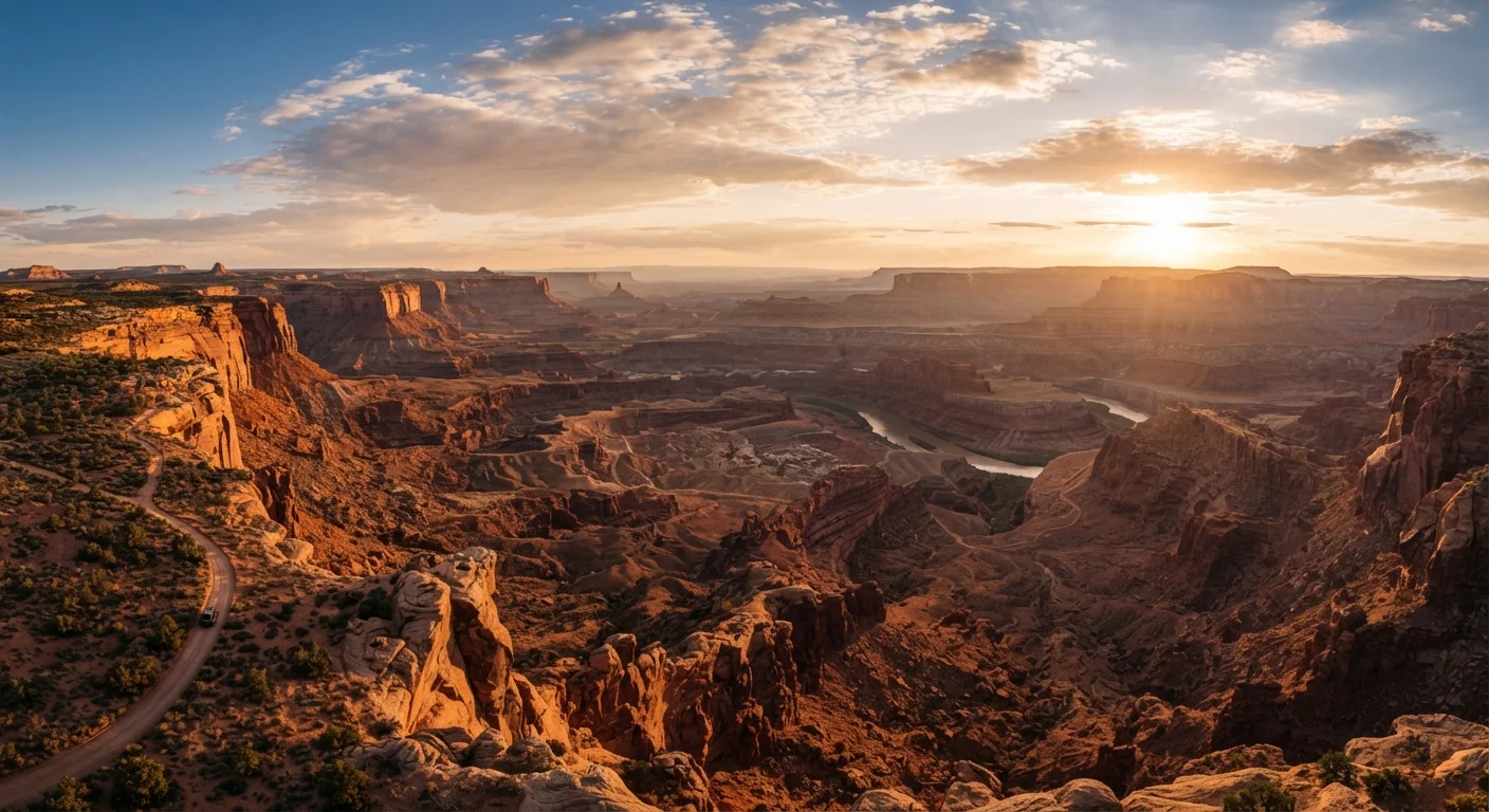
The Grand Canyon, Zion, Bryce Canyon, and Arches are often discussed as a natural grouping—and for good reason. All four sit within roughly 700 highway miles of each other across the Colorado Plateau, a geologic province defined by ancient sedimentary rock that wind, water, and time have carved into some of the most distinctive terrain on earth. Each park exposes a different chapter of that story: the Grand Canyon's mile-deep gorge, Zion's cathedral slot canyons, Bryce's pink and white limestone hoodoos, and Arches' gravity-defying sandstone spans.
Visiting them together allows travelers to appreciate how dramatically the landscape shifts over relatively short distances — and how each park rewards a different pace and style of exploration. This isn't a trip that rewards rushing. Understanding the distinctions between national park designations and adjacent public lands also helps, since you'll pass through Bureau of Land Management and national forest areas en route.
Permits and Reservations Are Not Optional
Grand Canyon, Zion, Bryce Canyon, and Arches all use timed-entry systems, advance vehicle reservations, or permit-only trails during peak seasons. Showing up without the required reservation can mean being turned away at the entrance gate. Check each park's official National Park Service page well in advance—some popular permits open months before the travel date.
For readers weighing whether a road trip or a fly-in approach makes more sense for this region, our comparison of road trips versus fly-and-explore formats lays out the trade-offs clearly. For this particular circuit, driving gives you far more flexibility than any hub-and-spoke fly-in strategy would.
What You'll Need Before You Go
A Southwest parks road trip rewards thorough preparation more than almost any other domestic trip type. The distances are long, the services are sparse, and the permit systems are genuinely competitive. Use the checklist below as your pre-departure framework.
What you will need
National Park Service Website (nps.gov)
The authoritative source for current permits, reservation windows, trail closures, and fee information for all four parks.
Recreation.gov Account
Used to book campsite reservations and timed-entry permits at most Southwest national parks.
Offline Maps App (e.g., downloaded maps)
Cell service is unreliable or absent across large stretches of the Colorado Plateau; offline maps prevent navigation failures.
America the Beautiful Annual Pass
Covers entrance fees at all national parks and most federal recreation areas, saving money on a multi-park itinerary.
Hydration System (water bottles or reservoir)
Desert hiking requires far more water than most trails; a high-capacity hydration setup is essential for safety.
Sun Protection (hat, sunscreen, UV clothing)
Extended exposure at high-altitude desert parks significantly raises sunburn and heat-illness risk.
The America the Beautiful Pass Saves Money
An America the Beautiful Annual Pass covers entrance fees at all four parks plus hundreds of other federal recreation areas. If you plan to visit two or more national parks in a year, the pass typically pays for itself on this trip alone. Purchase one at any park entrance or through Recreation.gov before you depart.
Desert Heat and Flash Floods Are Serious Hazards
Summer temperatures in canyon country regularly exceed 100°F on canyon floors. Flash floods can surge down narrow slot canyons within minutes of a rainstorm miles away. Always check the NPS weather forecast before entering narrow canyon areas, carry more water than you think you need, and exit slot canyons immediately if a storm appears anywhere in the drainage watershed.
How to Plan Your Route and Stops
Follow the step-by-step planning sequence below to build a trip that flows logically from park to park without unnecessary backtracking. Each step addresses a distinct planning layer — timing, routing, permits, park-specific expectations, vehicle readiness, and itinerary flexibility.
Choose your travel window and set a realistic timeline
Spring (April–May) and fall (September–October) are the most forgiving seasons for a Southwest parks road trip. Temperatures are moderate at canyon rims, crowds are lighter than summer, and most trails are snow-free. Summer is doable but demands very early morning starts and careful heat management. Winter closes some higher-elevation roads at Bryce Canyon and can bring ice to Zion's Angels Landing area.
Plan for a minimum of ten days to visit all four parks without feeling rushed—two days per park plus two to three travel days. If your schedule allows twelve to fourteen days, you'll have buffer time for weather delays or an extra hike.
Map your route in a logical geographic order
The most efficient loop begins and ends in either Las Vegas, Nevada, or Phoenix, Arizona—both major airports with easy highway access to the park corridor. A practical sequence is:
- Grand Canyon South Rim (Arizona) — your first major stop
- Zion National Park (Utah) — roughly 2.5 hours north via US-89 and UT-9
- Bryce Canyon National Park (Utah) — about 1.5 hours east of Zion on UT-12
- Arches National Park (Utah) — approximately 4 hours northeast of Bryce Canyon via US-89 and US-191
This order covers roughly 700 miles of driving total and avoids significant doubling back. If you prefer to start from Salt Lake City, simply reverse the order and end at the Grand Canyon before flying out of Phoenix.
Secure permits, reservations, and entry passes
This is the most time-sensitive step and the one most travelers underestimate. Visit each park's official NPS page to identify current requirements:
- Grand Canyon: Rim-to-rim corridor trail permits are highly competitive; day hiking below the rim is unrestricted but lodging books out a year in advance.
- Zion: A shuttle system restricts private vehicles on Zion Canyon Scenic Drive during peak season. Angels Landing requires a permit through a lottery system on Recreation.gov.
- Bryce Canyon: No timed-entry permit is currently required for general park access, but check the NPS site as policies change.
- Arches: A timed-entry permit is required during peak season (typically April through October); these open months in advance.
Book all campsites or nearby lodging immediately after confirming your travel dates. Popular sites like Watchman Campground in Zion fill within minutes of their reservation windows opening.
Know what to expect at each park
Grand Canyon South Rim is vast and vertiginous — the scale is difficult to grasp from the rim viewpoints alone. Budget time for at least a partial descent on the Bright Angel or South Kaibab Trail to feel the canyon's depth. Descending is deceptively easy; the climb back out in heat is where unprepared hikers run into trouble.
Zion National Park offers lush canyon scenery fed by the Virgin River. The Narrows (hiking through the river itself) and Angels Landing (a permit-required, chain-assisted summit hike) are iconic. Zion's canyon floor is accessible by shuttle, keeping the corridor relatively car-free.
Bryce Canyon sits at 8,000–9,000 feet elevation, making it notably cooler than the other parks. Its hoodoos — tall, spire-like rock formations — are best seen at sunrise when low-angle light turns them amber and coral. The Navajo Loop and Queen's Garden trails together form an excellent two-to-three hour combination hike.
Arches National Park holds the highest concentration of natural sandstone arches on earth. Delicate Arch is the most photographed, requiring a moderate 3-mile round-trip hike. The park's Windows Section is accessible for visitors with limited mobility.
Prepare your vehicle and pack for desert driving
Long highway stretches between parks pass through remote high desert with sparse services. Before departing, run through a thorough vehicle inspection — tires, fluids, cooling system, and spare tire — as detailed in our pre-trip car preparation guide. A breakdown between Bryce Canyon and Arches, for example, could mean a very long wait for roadside assistance.
Pack more water than your navigation app suggests you need — a gallon per person per day is a frequently cited minimum for active desert days. Carry a paper road atlas as a backup. Note that some unpaved roads to viewpoints require high-clearance vehicles; verify road conditions with the park before attempting them.
Build flexibility into each park day
Rigid hour-by-hour itineraries rarely survive contact with real trail conditions, afternoon thunderstorms, or a longer-than-expected hike. Structure each park day around one anchor activity — a specific hike or viewpoint — and leave the afternoon open. This approach also helps with avoiding the over-planning pitfalls that leave travelers exhausted rather than energized.
If you find yourself ahead of schedule, the drive along Utah's Scenic Byway 12 between Bryce Canyon and Capitol Reef offers extraordinary scenery worth a half-day detour. Conversely, if a park captures you completely, trimming driving time by staying an extra night is often the better choice.
See the trip planning hub for additional resources on budgeting, itinerary building, and travel logistics.