

Understanding the Maine Coast: More Than a Straight Line
Maine's coastline appears deceptively compact on a map. The straight-line distance from Kittery at the New Hampshire border to Lubec near the Canadian border is roughly 230 miles — but the actual tidal shoreline, accounting for every cove, inlet, and peninsula, stretches more than 3,400 miles. That geographic complexity is the single most important thing to understand before planning a trip here.
The coast is conventionally divided into four regions: the Southern Coast (York to Portland), the Midcoast (Brunswick to Rockland), the Penobscot Bay area, and Downeast Maine (Ellsworth to Lubec). Each region has a distinct character, infrastructure level, and seasonal rhythm. Driving between them along U.S. Route 1 — the primary coastal highway — takes far longer than distances suggest, because peninsulas extend south like fingers, requiring backtracking to advance east.
First-time visitors frequently underestimate drive times. A realistic rule of thumb: budget twice what a mapping app estimates if you plan to explore any peninsula roads, and plan no more than one or two regional stops per day.
Portland and the Southern Anchor
Portland serves as the practical hub of the Maine coast. Its Old Port neighborhood — a compact district of 19th-century brick warehouses converted into restaurants, shops, and fish markets — is walkable and well-served by hotels and public transit options compared to the rest of the coast. The working waterfront still ships live lobster daily and provides ferry service to several offshore islands, including the Casco Bay Islands accessible year-round.
The Southern Coast below Portland, including Ogunquit, Kennebunkport, and Old Orchard Beach, draws dense summer crowds. Sandy beaches here — rare by Maine standards — are the main draw. Expect heavy traffic on Route 1 between late June and Labor Day. Parking fills early on peak weekends, and many accommodations require minimum-night stays in high season.
Southern Coast vs. Midcoast: Setting Expectations
The Southern Coast offers the most amenities and accessibility but also the heaviest summer crowds and most commercialized atmosphere. Travelers seeking Maine's quieter fishing-village character, rocky shoreline scenery, and working-harbor culture will generally find it more pronounced in the Midcoast and Penobscot Bay regions. The trade-off is longer drives and fewer lodging options, particularly outside of peak season.
South of Portland is also where Maine's coastal character is most commercialized. Visitors seeking quieter, more rugged experiences are generally better served by heading midcoast or further east, accepting longer drives in exchange for significantly fewer crowds.
The Midcoast, Penobscot Bay, and the Logic of the Lobster Trail
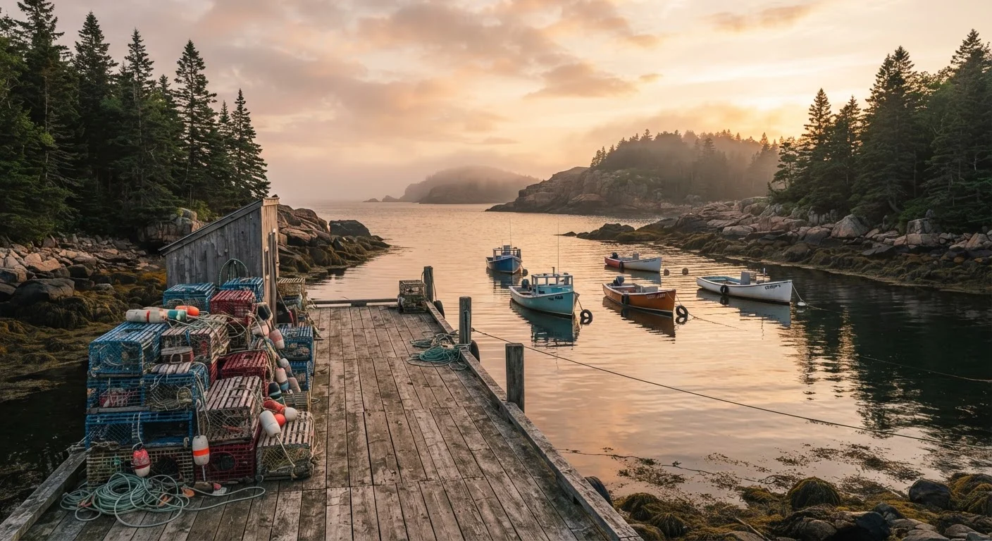
The Midcoast region — spanning roughly from Brunswick through Rockland — is where Maine's identity as a working waterfront becomes most legible. The lobster shack, an informal waterside structure serving boiled lobster with minimal overhead, originated here and remains the most authentic way to eat one. These are not restaurants in the conventional sense; most are cash-only or limited-card, BYOB affairs with picnic tables and no reservations.
Windjammer cruise
A multi-day sailing trip aboard a historic wooden schooner, typically operating in Penobscot Bay. Passengers live aboard and participate in traditional sailing activities. Cruises generally run from late May through mid-October.
Downeast Maine
The easternmost stretch of the Maine coast, roughly from Ellsworth to the Canadian border. The term derives from the sailing direction — east and downwind — sailors historically traveled from Boston. The region is known for dramatic coastal scenery and sparse tourism infrastructure.
Lobster shack
An informal, waterfront food stand or simple structure serving fresh boiled or steamed lobster. Typically cash-forward, BYOB, and without formal reservations. A staple of Midcoast and Downeast Maine food culture.
Carriage roads (Acadia)
A 45-mile network of broken-stone roads within Acadia National Park, built in the early 20th century and closed to motor vehicles. Widely used for hiking, cycling, and horseback riding as an alternative to crowded summit routes.
Island Explorer
A free, propane-powered bus system serving Acadia National Park and surrounding communities on Mount Desert Island, operating from late June through Columbus Day. Reduces the need for private vehicles within the park.
Timed-entry permit
A reservation required to drive a private vehicle on Acadia's Cadillac Mountain summit road during peak season. Permits are issued through the National Park Service reservation system and sell out quickly.
Towns like Damariscotta, Camden, and Rockland balance tourism infrastructure with year-round community life. Camden sits at the base of the Camden Hills — one of the few places on the eastern seaboard where mountains meet saltwater — and is the departure point for windjammer cruises, multi-day sailing trips aboard historic schooners operating primarily between late May and mid-October.
Rockland's Farnsworth Art Museum, which holds one of the most significant collections of Wyeth family paintings, is a notable inland-facing reason to stop. Penobscot Bay's islands — particularly Islesboro, North Haven, and Vinalhaven — are accessible by Maine State Ferry Service and offer a genuinely different pace from the mainland.
Acadia National Park and Downeast Maine
Acadia National Park, centered on Mount Desert Island and accessed via Ellsworth, is the busiest part of the Maine coast by a wide margin. The park recorded over 4 million visits in recent years, and Bar Harbor — the island's main town — can feel overwhelmed on summer weekends. The park's Island Explorer bus system provides free, propane-powered shuttle service within the park from late June through Columbus Day, and using it is strongly recommended over driving, as parking at major trailheads fills by mid-morning in peak season.
4M+
Annual visits to Acadia National Park
According to National Park Service visitation data, Acadia regularly surpasses 4 million visits per year, making it one of the most-visited national parks in the U.S.
3,400 mi
Maine's actual tidal shoreline
The Maine Geological Survey estimates Maine's tidal shoreline at approximately 3,400 miles when accounting for all coves, inlets, and peninsulas.
45 miles
Motor-vehicle-free carriage roads in Acadia
Acadia National Park maintains 45 miles of broken-stone carriage roads closed to motor vehicles, offering quieter access to the park's interior landscapes.
The park's carriage road network — 45 miles of broken-stone roads closed to motor vehicles — is particularly well-suited to cycling and offers access to interior pond and ridge views without the summit crowds. Cadillac Mountain, at 1,530 feet the highest point on the U.S. Atlantic coast north of Rio de Janeiro, requires a timed-entry vehicle permit on the summit road during peak season; check the official National Park Service reservation system before arriving.
East of Acadia, Downeast Maine sees dramatically fewer visitors despite spectacular scenery. The Bold Coast between Cutler and Lubec offers multi-day hiking trails on dedicated public land. West Quoddy Head State Park in Lubec marks the easternmost point in the contiguous United States and the first place in the country to see sunrise. Infrastructure is sparse — fuel stations and lodging options thin considerably east of Ellsworth — so trip planning requires more advance preparation than elsewhere on the coast.
Seasonal Rhythms and Practical Considerations
Maine's coast operates on a pronounced seasonal calendar. Late June through Labor Day is high season: maximum services, maximum crowds, and maximum prices for accommodation. September and early October — the shoulder season — offer the most favorable conditions for many travelers: foliage color, cooler temperatures, fewer crowds, and most restaurants and ferries still operating. "Mud season" (April into early May) and late October through May see many businesses closed or on reduced hours, particularly on peninsulas and islands.
Water temperatures along the Maine coast remain cold throughout the swimming season, typically ranging from the low 50s°F in spring to the low-to-mid 60s°F at peak summer. Swimming is common at sandy Southern Coast beaches but much less so further east. Cold-water safety awareness is important for kayaking and any open-water activity.
Travelers should verify current ferry schedules, park reservation requirements, and business hours directly with operators before arriving, as these details change seasonally and year to year. Official sources — the Maine Office of Tourism, National Park Service, and Maine State Ferry Service — provide the most reliable current information.